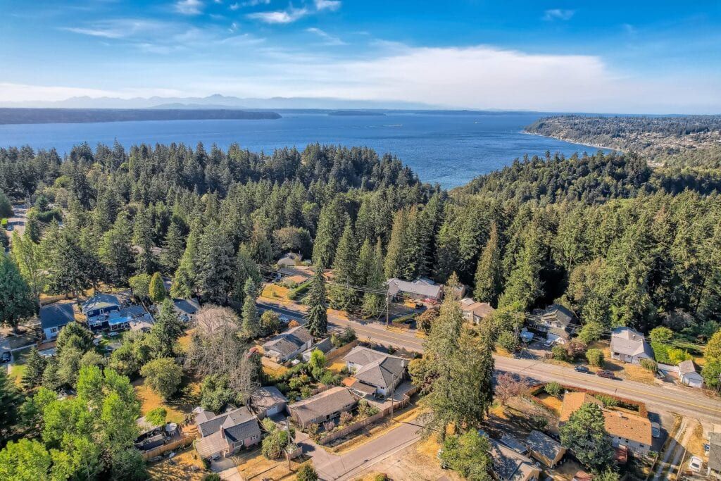
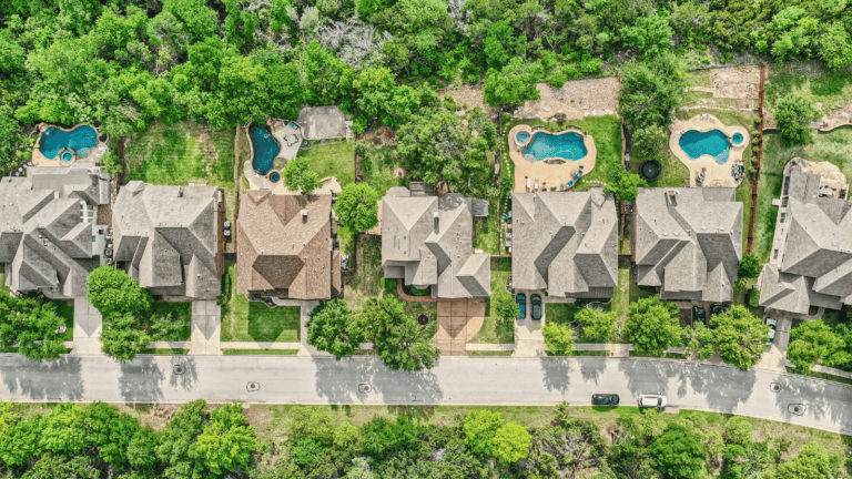
As a majority of homebuyers first view homes online, it’s essential that your listing gives a complete picture of the home. While virtual tours, 3D floor plans, and real estate photography give clients a good idea of the home, aerial photography can take your listing to the next level.
You can best showcase a property and its surrounding areas with aerial photography. Buyers will appreciate seeing the property’s area and overall location. If you take advantage of aerial photos by using them for all of your marketing campaigns, you will see more business engagement.
What is aerial photography for real estate?
Aerial photography for real estate is when photographs are taken from the air of a property. The resulting frame of reference from a high elevation is the meaning of aerial view.
An example of residential aerial photography is taking an aerial photo of a home that includes the front and back yards. Another example is aerial drone photography for commercial real estate by taking pictures of a shopping area and the surrounding neighborhood. Then, you can create a corresponding map to show developers interested in the property.
Is drone photography for real estate the same as aerial photography?
Although both lead to a better understanding of the property’s layout, there is a difference between drone and aerial photography.
Drone photography for real estate is a subtype of aerial photography that explicitly uses drones to take photos. Other aircrafts, such as planes or helicopters, can also be used for aerial photography.
If you opt for real estate photos taken by a drone, check that the drone pilots you hire are fully licensed and insured.
How are aerial photos useful?
Standard indoor photos don’t give potential buyers a lay of the land. For example, you can’t highlight a new roof or other unique outdoor features like solar panels.
An aerial photograph shows the full view of a property in the context of its location. Interested buyers can then get a better idea of the property’s worth and its proximity to surrounding areas—without being physically present in the space.
Why do you need professional real estate aerial photography?
You can’t give a full view of a property if you only take pictures on the ground. People will be left wondering about spatial relationships, like how far their yard extends or how close their neighbor’s driveway is to theirs. They may also be interested in seeing the condition of surrounding roadways.
Being able to show more of a property to potential clients than other agents gives you an advantage. Not only will your listing stand out among competitors, but you’ll also attract more qualified and interested buyers.
Aerial photography near me
Virtuance sets the real estate marketing standard with our HDReal® aerial photography and video.
Schedule with us, and our drone pilots and processing team will take care of everything else. We even provide you with an aerial pre-shoot checklist! Check out our service area map to determine whether we offer aerial photography near you.


